Oldest 3D Map in Europe
The Saint-Bélec Slab was etched 4,000 years ago and is considered to be the oldest known three dimensional map in Europe. It was unearthed in 1900, moved a few times and eventually found again in the cellar of a castle in 2014.
 |
| All photos via Inrap - click for original |


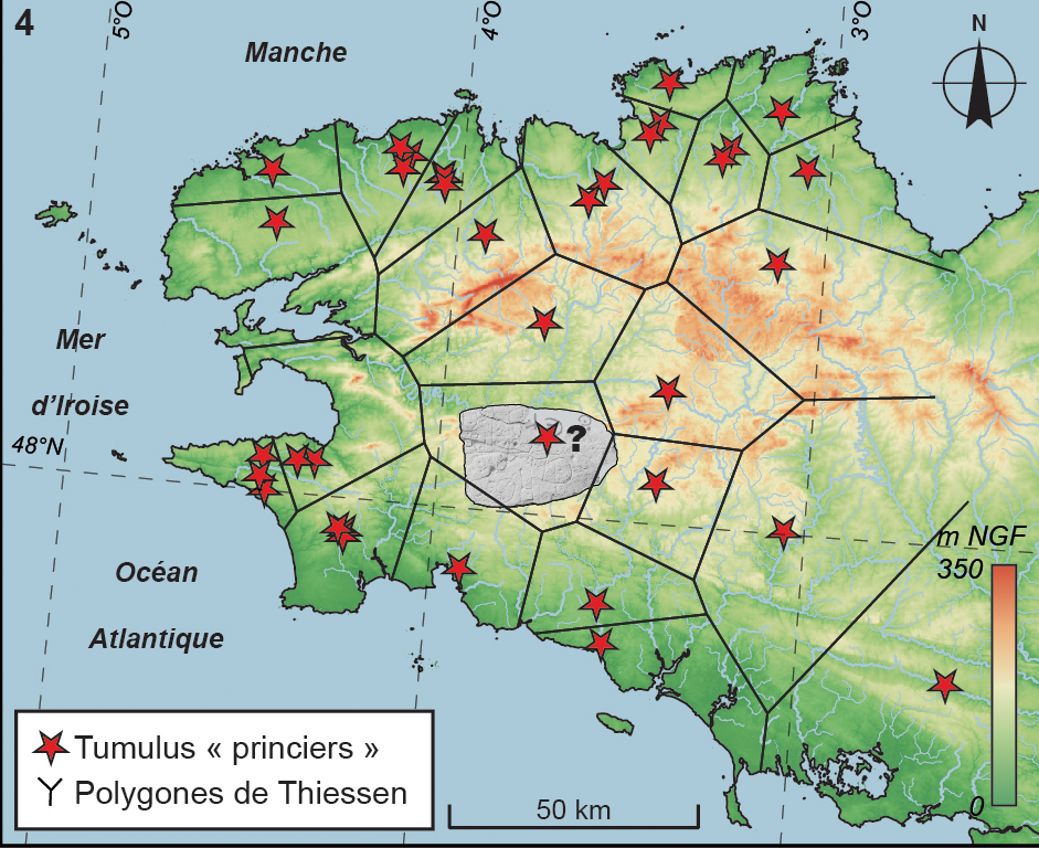
The Inrap (the French archaeology institute) article is full of great diagrams like this one comparing locations on the stone to the current map,

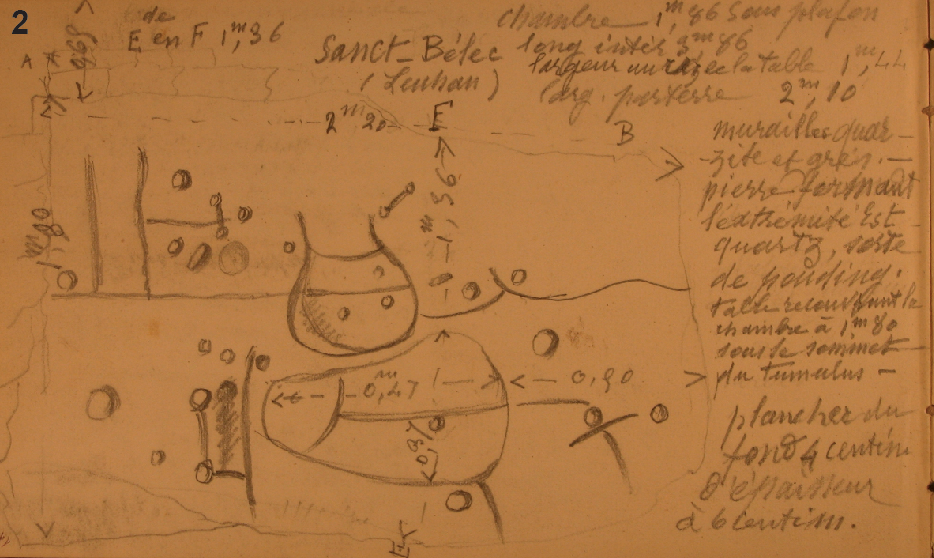
Click on the Inrap article for details, descriptions (in French) and credits. For an English language description see this BBC article, containing the following quotes from Dr Clément Nicolas from Bournemouth University, one of the study's authors.
"It was probably a way to affirm the ownership of the territory by a small prince or king at the time."
"We tend to underestimate the geographical knowledge of past societies. This slab is important as it highlights this cartographical knowledge."

Comments
Post a Comment
Ask me anything here...